 |
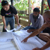
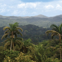
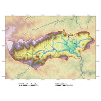
The Center for Biodiversity Research and Information (CBRI) partnered with local non-governmental organization, Earth Train in the narrowest region of Panama to conduct topographic surveys of the Mamoní River watershed.
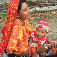
Based at Earth Train’s Upland Rainforest station, CBRI worked together with local Panamanians, government surveyors, and indigenous youth from neighbouring Emberá and Kuna communities to map natural resources and territory designated for conservation and restoration. Based on this field data, CBRI built a preliminary base map of the 9,000 acre watershed upon which important decisions can be made for the sustainable management of the region.
CBRI continues to train Earth Train staff and youth interns in GPS technology, surveying techniques, and GIS to further develop their watershed base map.
|