GIS stands for "Geographic Information Systems" and refers to the assemblage of computer hardware, software, methods, and personnel for creating, storing, analyzing, and displaying spatially referenced information. More broadly, GIS is the analytic platform to interact with natural history data and digital spatial and environmental layers for fieldwork planning to visualizing collection strengths, for modeling species distributions to cartography. Increasingly, GIS is used for analyzing biogeography, evolutionary relationships, and animal and plant biodiversity.
GIS - based imagery and maps can be seen on CAS public floor, such as periodically in "Science Now" or in the exhibit "California Hotspots". Map figures are often included in the Proceedings of the California Academy of Sciences among other publications.
In 1995, the Academy received a Conservation Technology Support Program grant from ESRI, which has allowed us to run ArcView 3.3 workstations as well as ArcGIS 9.0. We have gone from one user to many with a central repository of spatial and environmental data for CAS survey and research projects. Many thanks to Charles Convis and CTSP!
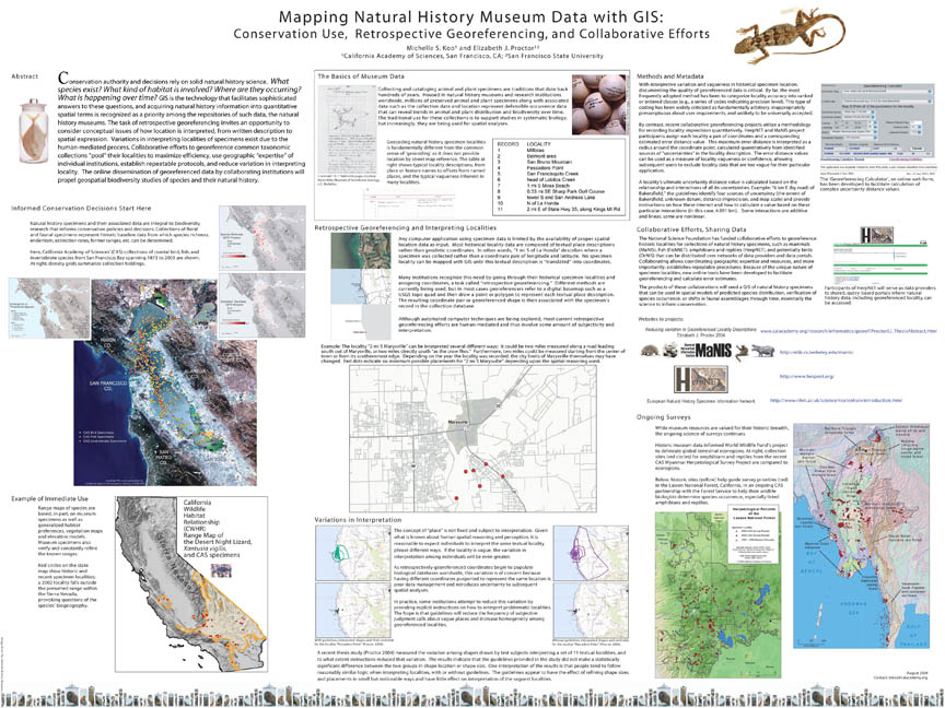
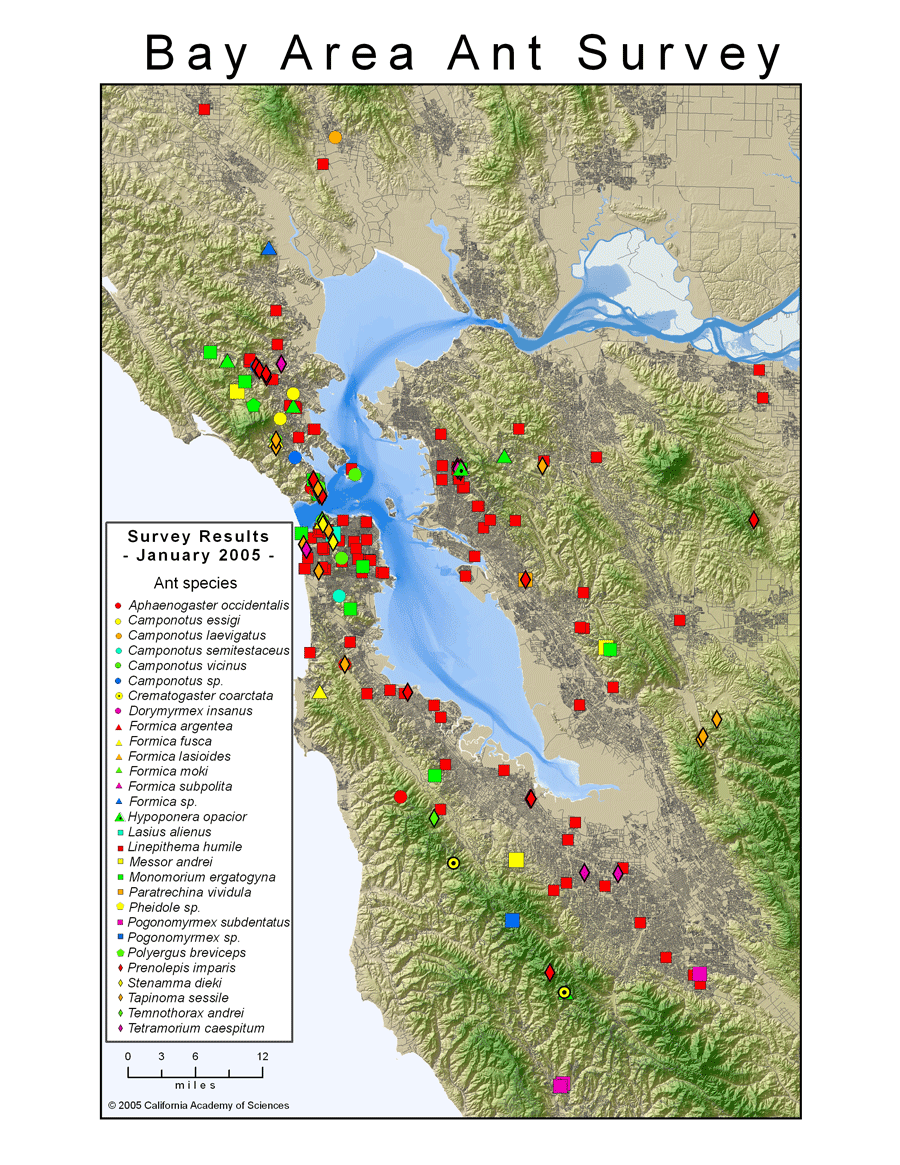
Selected CAS-GIS products are highlighted below. All maps and images are copyrighted by CAS and may be used only for educational or personal use.
Visit the website for more GIS work. |