 |
|
| Satellite imagery courtesy of Terrametrics, Inc. |
Introduction to Myanmar (Burma)
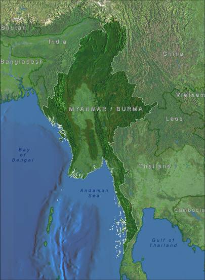
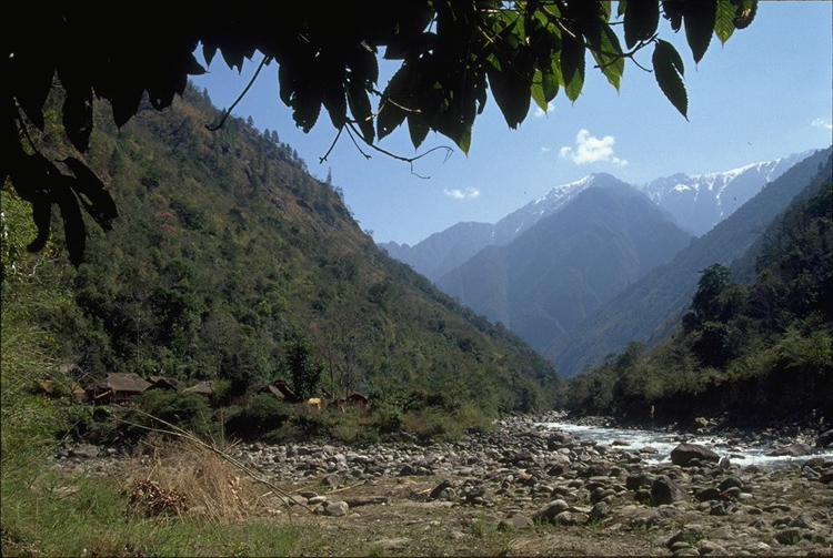
Myanmar, also known as Burma, lies in northwestern portion of southeast Asia and is bordered by the Bay of Bengal, Bangladesh and India to the west, by China to the north and northeast, by Lao Peoples' Democratic Republic and Thailand to the east, and the Andaman Sea to the south. It extends from its northern border with China encompassing the highest peak in southeast Asia, Hkakabo Razi, to its extreme southern tip at the Isthmus of Kra.
The dominant topographical features are the central lowland basin of the Ayeyarwady (Irrawady) drainage and the peripheral mountain ranges that encircle Myanmar, formed by the faulted and folded Indo-Burman Range to the west, the uplifted Sino-Burman Range to the east and the Sino-Himalayan of the Eastern Himalayas to the far north. These three major geologic features form an inverted horseshoe-shaped barrier, walling off the Ayeyarwady plains from neighboring countries and monsoons from the Bay of Bengal. The resulting rain-shadow effect produces an arid zone in the central Ayeyarwady plains.
The diversity of habitats and collusion of the three major geologic features is reflected in the high number of ecoregions, or biogeographic units, as identified by Olson and Dinerstein (2001). Myanmar encompasses twenty ecoregions of the Indo-Malayan and Paleartic global realms making Myanmar one of the most diverse nations in southeast Asia.
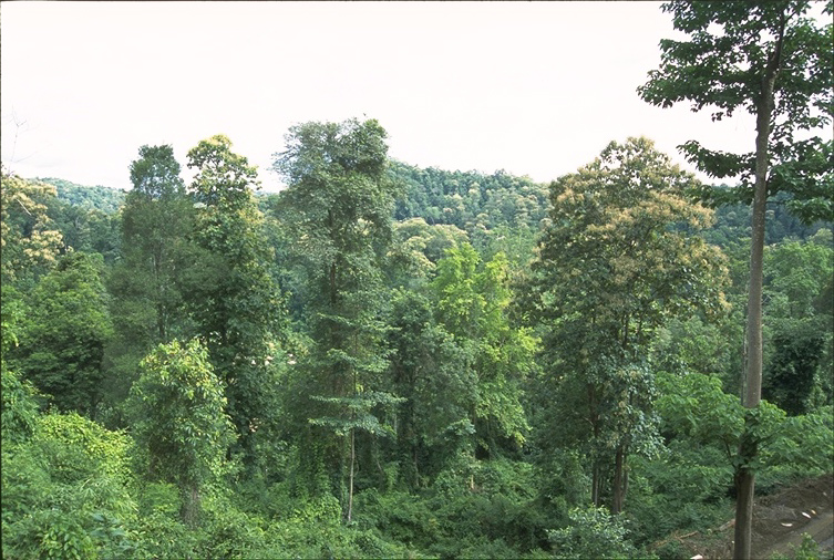
Between the two extremes of the northern border with China and the easternmost Himalayas, and the southern border on the edge of the Andaman Sea lies over 676,000 square kilometers of diverse habitats, including:
- Himalayan alpine scrub and temperate forests of oaks, conifers, rhododendrons in the north;
- Indaing Forests and semi-arid conditions in the central dry zone;
- tropical rainforests, coastal mangroves and wetlands.
Myanmar resides in two of Conservation International's Biodiversity hotspots, and is comprised of twenty of World Wildlife Fund's Global 200 critical ecoregions.
 |
| Hkakabo Razi Protected Area, Kachin State |
| Photo by Hla Tun |
 |
| Top of Mt. Victoria, Chin State |
| Photo by Hla Tun |
 |
| Sein Yay Camp, Bago Division |
| Photo by Hla Tun |
 |
| Near Pokoku, Magwe Division |
| Photo by Hla Tun |
 |
| Shwe U Daung Wildlife Sanctuary, Mandalay Division-Shan State border |
| Photo by Hla Tun |
 |
| Setse area, Mon State |
| Photo by G. Wogan |